Satellite Imagery Reveals Vast European Landscapes Scarred by Summer Heatwaves
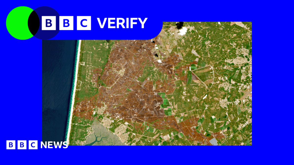
New satellite imagery has unveiled the stark environmental degradation inflicted upon Western Europe by the prolonged summer heatwaves. Analysis of these visual data sets reveals extensive discolouration across numerous landscapes, indicating severe drought conditions that have parched agricultural land and natural habitats alike.
The imagery provides a comprehensive overview of the hydrological stress experienced across the continent. Major river systems, crucial for commerce, agriculture, and power generation, appear significantly depleted, with their banks exposed and flow rates demonstrably reduced. This scarcity of water has profound implications for ecological balance and human activity.
Furthermore, the visual evidence highlights an accelerated retreat of glaciers in mountainous regions. The sustained high temperatures have intensified melt rates, contributing to the broader pattern of water scarcity and long-term changes in regional hydrology. This phenomenon represents a tangible manifestation of the climate emergency currently unfolding.
The aerial perspective reinforces the scientific consensus on the increasing frequency and intensity of extreme weather events. The documented changes across Western Europe serve as a poignant illustration of the continent's susceptibility to climatic shifts and the pressing need for robust environmental adaptation and mitigation strategies.