Australia Combines Satellite Technology, Aboriginal Land Management for Bushfire Control
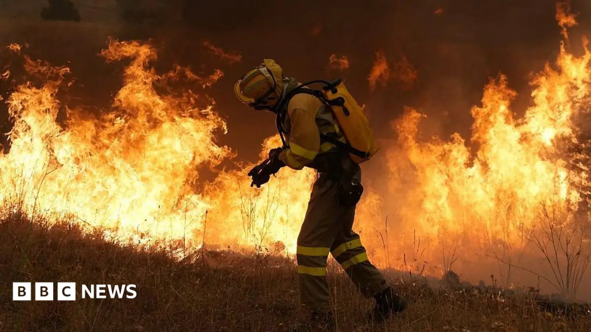
Australia is increasingly adopting a dual strategy for bushfire management, combining cutting-edge satellite technology with traditional Aboriginal land management practices. This integrated approach is presented as a pragmatic response to the escalating scale and intensity of wildfires, which pose a persistent threat across the continent.
The system leverages satellite imagery and real-time data to identify high-risk areas and monitor fire fronts. This modern surveillance is then married with Indigenous methods, which advocate for cultural burning: deliberately lit, low-intensity fires conducted during cooler months. These controlled burns reduce fuel loads on the forest floor, creating natural firebreaks and fostering biodiversity, while also managing specific plant growth cycles.
This synthesis of ancient knowledge and contemporary tools is designed to move beyond reactive firefighting. Proponents argue it offers a more sustainable and effective preventative measure, contrasting sharply with the often-overwhelming challenge of containing large, uncontrolled bushfires once they ignite. The strategy underscores a recognition that comprehensive fire resilience requires understanding and respecting the intricate ecological relationship between land and flame, a perspective long central to Aboriginal custodianship.