Drones Locate Persistent Subterranean Wildfire Hotspots in Cairngorms National Park
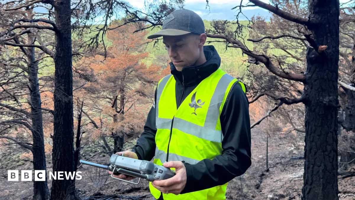
Specialised drones equipped with thermal imaging cameras are actively scanning swathes of the Cairngorms National Park, months after a significant wildfire ravaged the area in July. The operation aims to pinpoint and manage persistent subsurface hot spots that continue to smoulder beneath the landscape, despite the outward appearance of containment.
While the dramatic surface flames of the initial wildfire have long subsided, the deep peatlands characteristic of the Cairngorms can harbour intense heat underground for extended periods. These hidden embers, often undetected by traditional ground patrols, represent a substantial risk for re-ignition, particularly as weather conditions shift.
Firefighters and conservation teams are utilising the drone data to direct targeted interventions, extinguishing these subterranean pockets of heat to prevent further spread and ecological damage. This technological approach underscores the complex challenges in managing wildfires in sensitive environments, where the immediate visible threat can mask a continuing, latent danger.