Firefighters Deploy Satellite Data, AI to Combat Wildfires in Greece, California
New technological advancements, including satellite monitoring and artificial intelligence, are being integrated into wildfire management strategies across several nations. These tools offer enhanced capabilities for early detection and provide crucial data to ground crews and command centres.
In Greece, fire services are now employing an AI system that analyses satellite imagery from across the Mediterranean basin. This system is designed to identify nascent fires within minutes of their ignition, offering a significant improvement over traditional visual detection methods.
Similarly, in California, firefighters are leveraging high-resolution satellite data to track the spread of active wildfires in real-time. This information is then used to predict fire behaviour and allocate resources more effectively, aiming to minimise destruction to property and natural habitats.
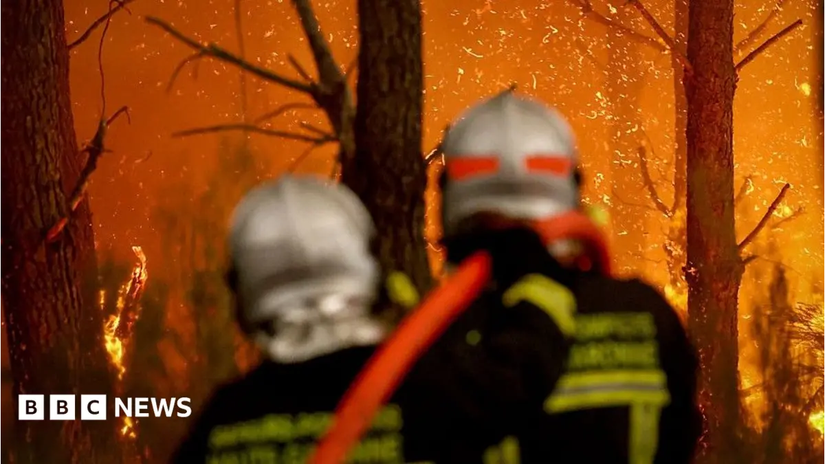
However, despite these technological strides, the role of human firefighters remains central to wildfire suppression. While AI and satellite imagery can pinpoint and track fires, the physical act of containing and extinguishing them continues to require trained personnel on the ground. The integration of technology primarily serves to augment their efforts, providing better intelligence and situational awareness rather than replacing the fundamental need for human intervention.