United Nations Approves Togo-Sponsored Resolution for New Africa-Centric World Map
The United Nations General Assembly has officially endorsed a resolution proposing a significant alteration to the conventional world map, specifically to address the long-standing misrepresentation of Africa's size. Initiated by Togo, the resolution garnered overwhelming international support, with 164 member states voting in favour of the proposal.
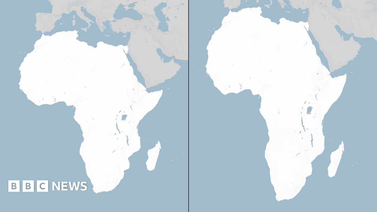
This initiative seeks to rectify the distortions inherent in widely used map projections, such as the Mercator projection, which historically exaggerates the landmasses of countries further from the Equator. Consequently, continents like Africa, which straddle the Equator, appear considerably smaller than their actual geographical area. For instance, Africa is, in reality, larger than China, India, the United States, and most of Europe combined.
The only nation to oppose the resolution was the United States. While no official reason was immediately provided for their dissenting vote, the decision highlights a divergence in perspectives on cartographic standards and their potential implications for global understanding and resource allocation. Critics of current map standards have long argued that such inaccuracies perpetuate a subtle but pervasive Eurocentric view of the world, potentially influencing geopolitical perceptions and resource assessments.
The adoption of this resolution by the UN signifies a move towards more geographically accurate representations, which proponents argue will foster a more equitable and informed global outlook.