Southern England Faces Thunderstorms, Flash Flooding as Heatwave Ends
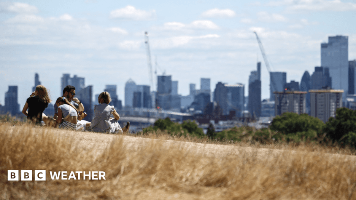
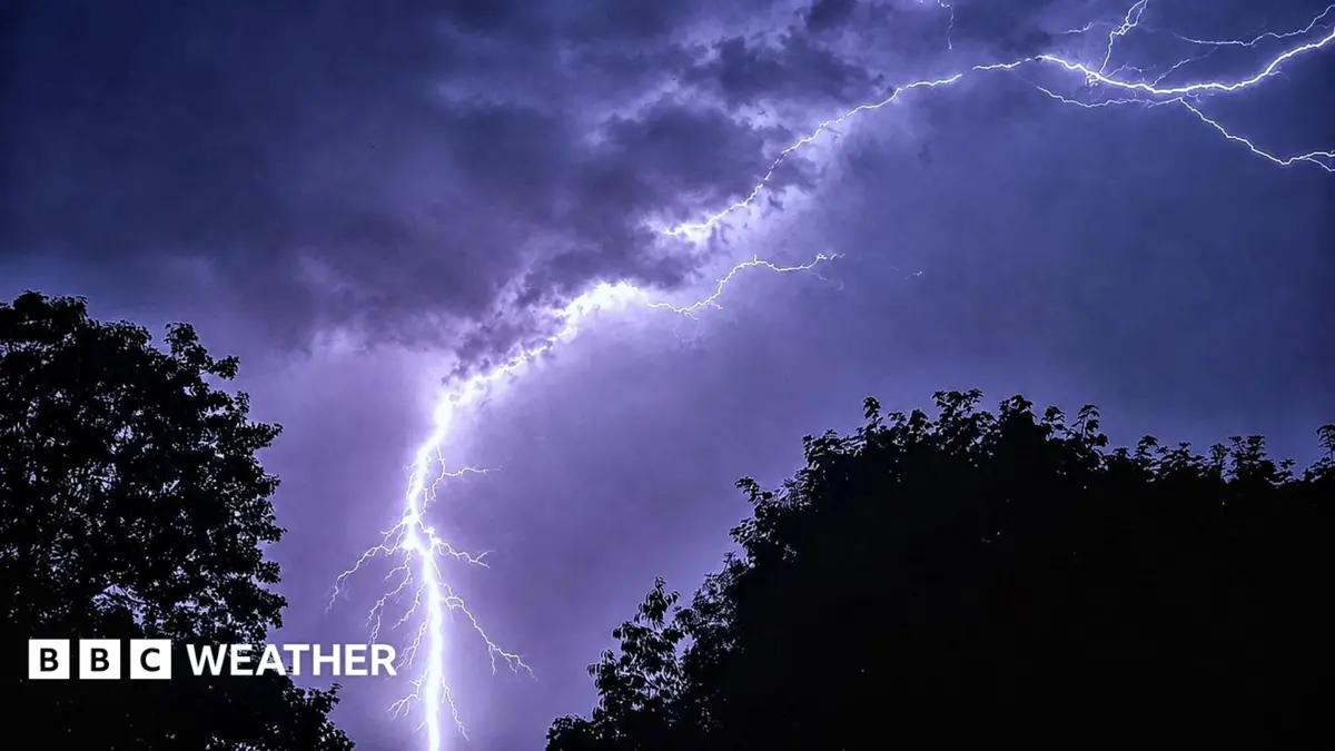
Southern and eastern England are bracing for potential thunderstorms and flash flooding on Tuesday, marking the final day of a prolonged heatwave. The Met Office has issued a yellow weather warning, covering areas from Norfolk to the Isle of Wight, effective from 13:00 to 22:00 BST.
This warning highlights the possibility of heavy rainfall, lightning, and hail, which could lead to localised disruption and challenging driving conditions. Despite the storm risk, several locations within the warning area are still projected to meet heatwave criteria for Tuesday, defined as three consecutive days of temperatures exceeding 25C or 28C, depending on the region.
Forecasters anticipate a notable drop in temperatures from Wednesday onwards. The heatwave had seen parts of the UK experience unseasonably high temperatures for several days, leading to warnings about heat-related health risks.