United Nations Approves Togo-Backed Resolution for Geographically Accurate World Map
The United Nations General Assembly has passed a resolution to introduce a new world map, more accurately reflecting the true landmass of continents, particularly Africa. The initiative, proposed by Togo, garnered substantial international backing, with 164 member states voting in support.
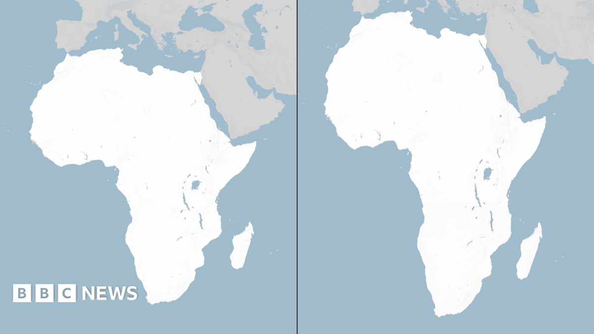
The traditional Mercator projection, commonly used in classrooms and atlases for centuries, significantly distorts the size of landmasses closer to the poles. This projection notably inflates the size of North America and Europe, while diminishing the apparent scale of Africa and South America. For instance, in Mercator maps, Greenland often appears comparable in size to Africa, despite Africa being approximately 14 times larger.
This cartographic revision is championed by many as a significant step in decolonising geographical representation. Critics of the Mercator projection have long argued that its inherent distortions perpetuate a Eurocentric worldview, downplaying the geographical significance of the Global South.
The United States was the sole nation to vote against the resolution, although no official explanation for its opposition has been publicly provided. The implementation of this new, more geographically precise map is expected to commence in educational materials and official UN documents globally within the coming year.