Strengthening Jet Stream Brings UK Rain, Warm Summer Weather Expected Later
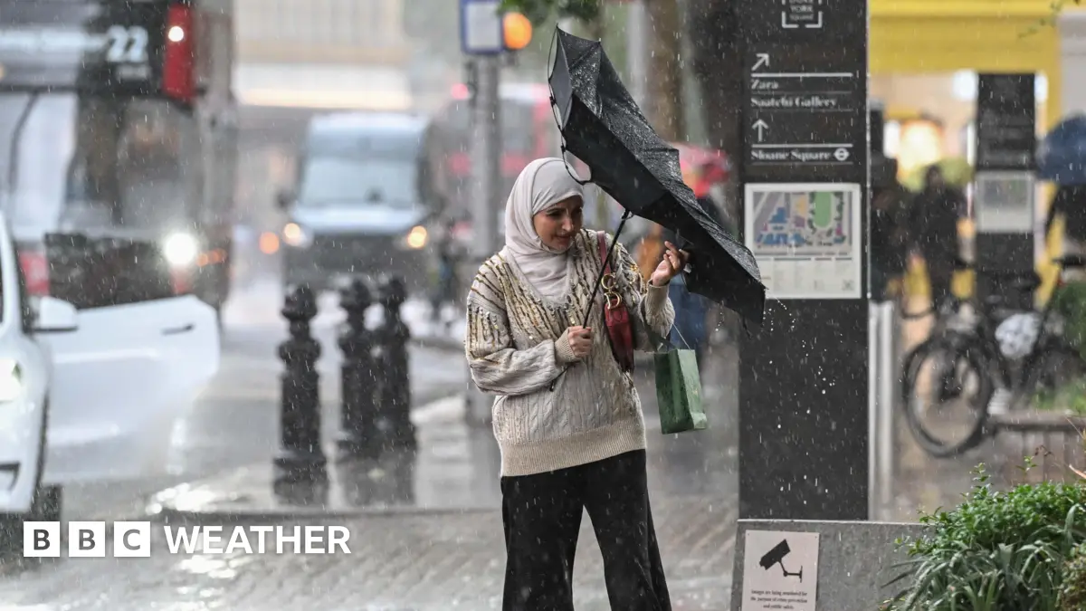
The United Kingdom has experienced an unseasonably wet start to summer, primarily due to an unusually strong jet stream. This high-altitude air current, positioned further south than is typical for this time of year, has steered a succession of low-pressure systems directly over the country, bringing considerable rainfall and cooler temperatures.
Meteorological data indicates that June rainfall levels in some regions have already exceeded monthly averages. The persistent influence of the jet stream has meant that the anticipated transition to warmer, drier conditions has been deferred, impacting seasonal activities and agricultural planning.
However, projections for the latter part of summer suggest a potential weakening and northward shift of the jet stream. This alteration would allow for higher pressure systems to build over the UK, leading to a period of warmer and more settled weather. While the exact timing and duration of this shift remain subject to atmospheric variability, forecasters are anticipating a general trend towards elevated temperatures later in the season.
Despite the current cool and wet pattern, long-range models provide a degree of confidence for an eventual transition to more characteristic summer conditions. This outlook will be closely monitored, given the implications for public health, infrastructure, and resource management.